
Homes on the Spring River.
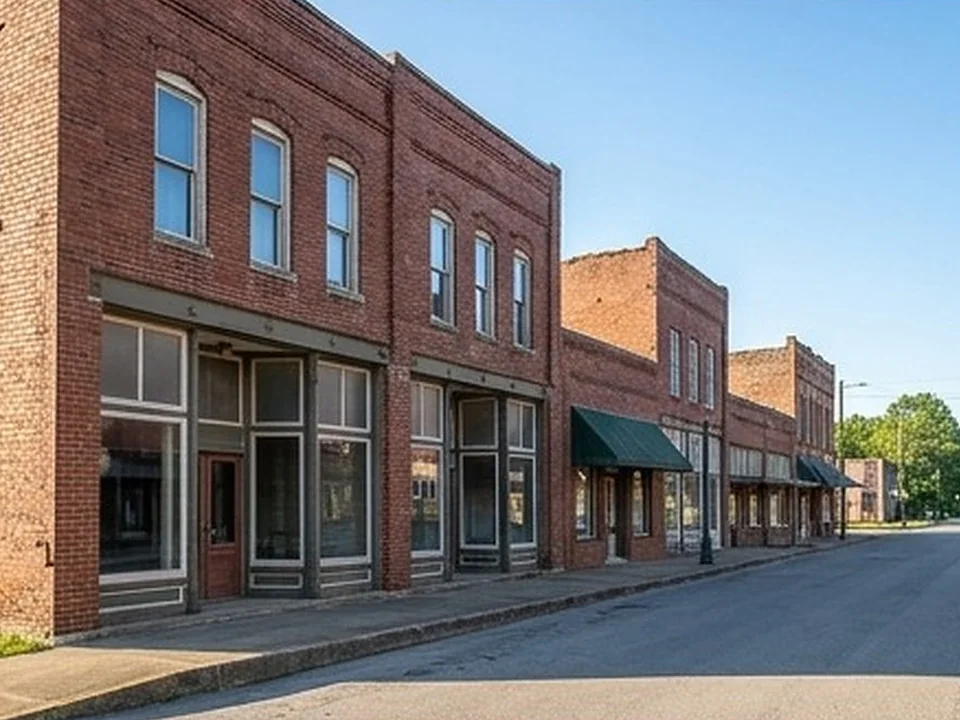
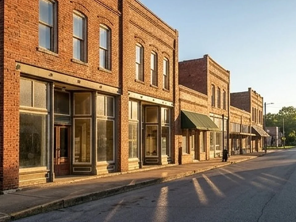
Hardy's history, its Main Street and its flood record are all tied to the Spring River.
Spring River homes: the facts
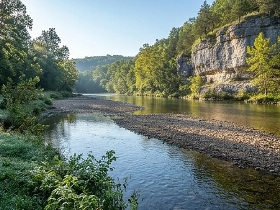
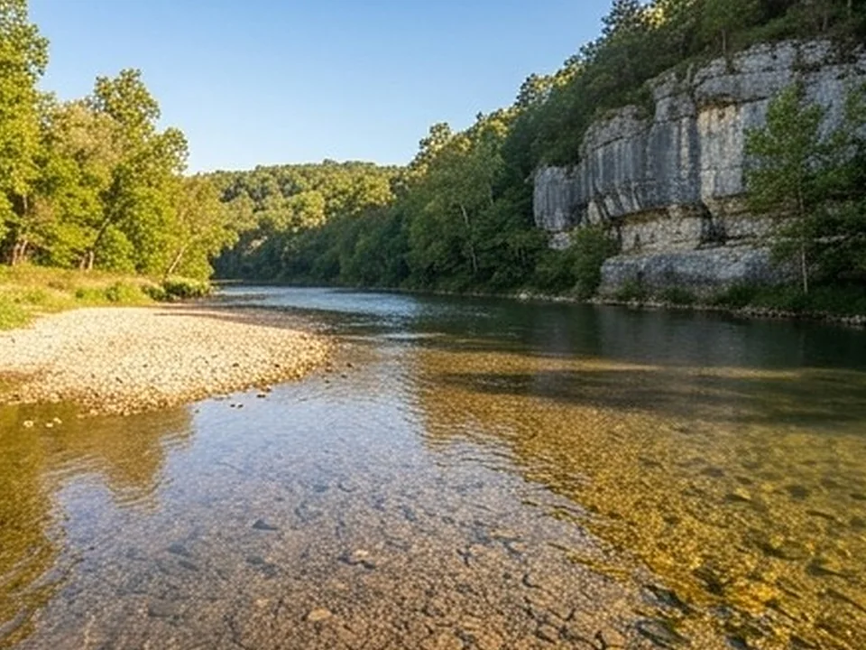
The Spring River begins where Mammoth Spring and the Warm Fork of the Spring River merge at Mammoth Spring State Park; The stretch between Mammoth Spring and Hardy is the most popular for canoeing and tubing.
The river is predominantly spring-fed with water averaging 58 degrees F; Mammoth Spring averages 9,780,000 gallons per hour.
Hardy was established in 1883 when the Kansas City, Springfield, and Memphis Railroad was built through the area, and was incorporated July 12, 1894.
Flood history: the record crest at Hardy is 29 feet (December 3, 1982), and the relocation of Main Street businesses accelerated after that flood; March 2008 reached 22.29 feet with about 250 residents evacuated and over 100 buildings flooded; April 2025 reached 22.82 feet, the second-highest on record, and damaged or destroyed dozens of homes.
Along the Spring River.
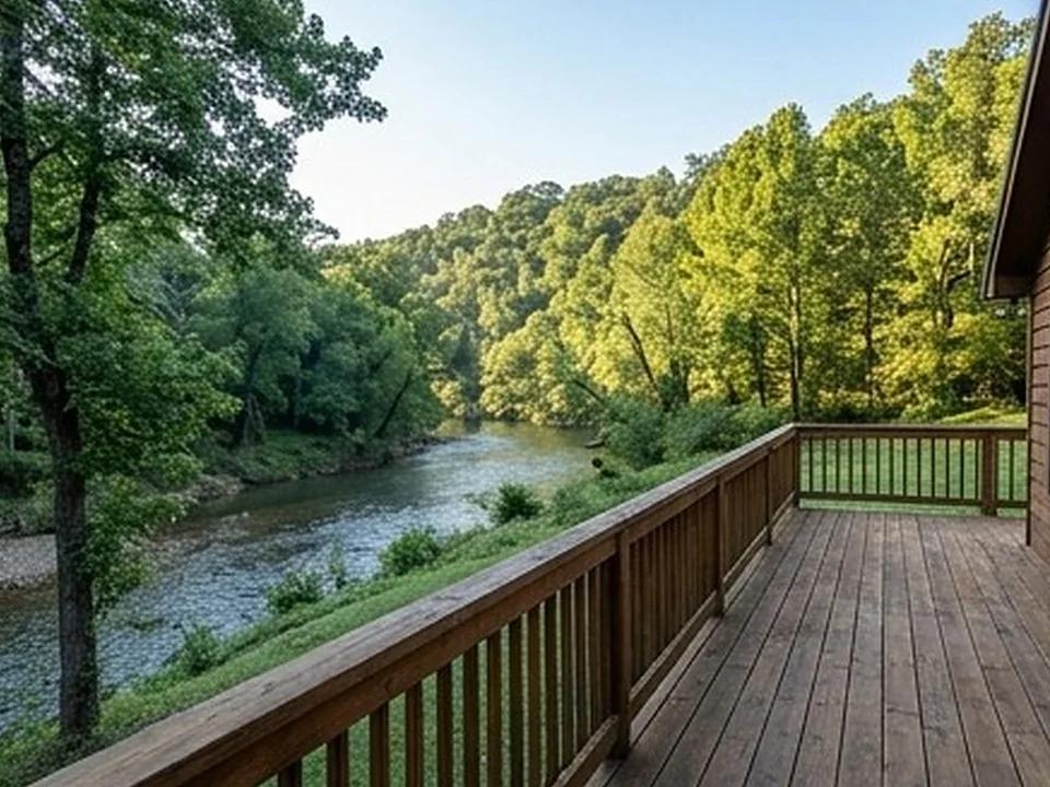
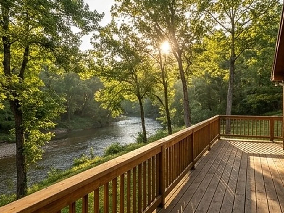
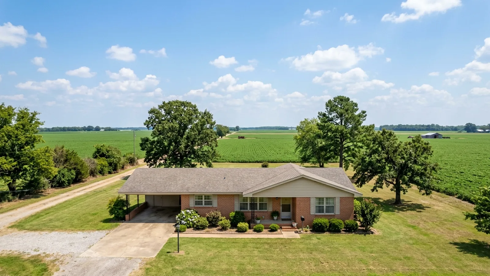
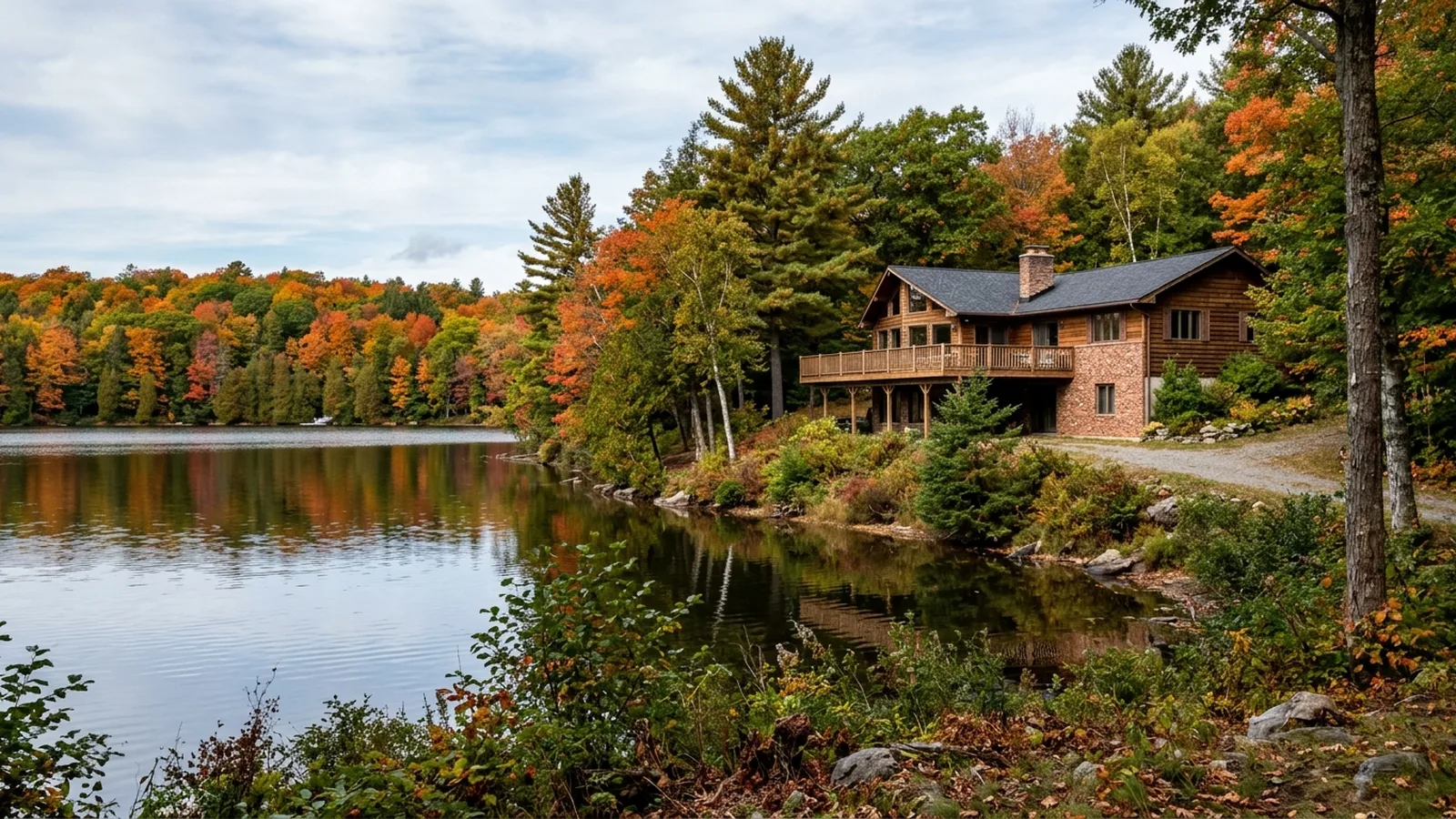
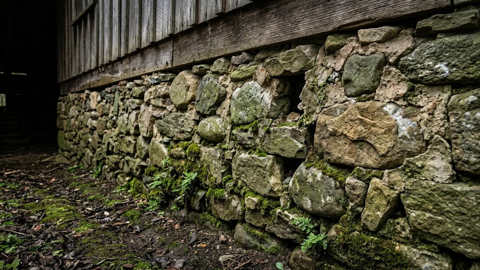
Illustrative photos of the kinds of homes and conditions found in this area.
Sources for the facts on this page
- encyclopediaofarkansas.net: hardy sharp county
- en.wikipedia.org: Hardy, Arkansas
- en.wikipedia.org: Spring River (Arkansas)
- ktlo.com
- kait8.com: spring river flooding reaches near historic level
- encyclopediaofarkansas.net: karst topography
- encyclopediaofarkansas.net: sharp county
- epa.gov: arkansas
- epa.gov: epa map radon zones
Build your quote in 30 seconds.
No phone tag, no callback delay. Price and book your inspection right here — it takes about 30 seconds and there is no obligation.