
Home and mold inspection in Hardy, Arkansas.
Closer Look Inspectors serves Hardy, Cherokee Village, Ash Flat, Highland, Mammoth Spring and the Spring River country of north Arkansas, plus the neighboring Missouri towns across the line. Homes here are inspected by a local partner in our Arkansas network.
Hardy and the Spring River country
Hardy was established in 1883 on the Spring River as the Kansas City, Springfield, and Memphis Railroad was built through the area, and its Main Street now has shops specializing in antiques and crafts.
Housing: Main Street commercial buildings and resort cottages dating to the 1912 Wahpeton Inn.
EPA's Map of Radon Zones places Sharp County in Zone 2 (predicted average indoor levels of 2 to 4 pCi/L). EPA notes that homes vary within any zone, so the map does not predict a single house.
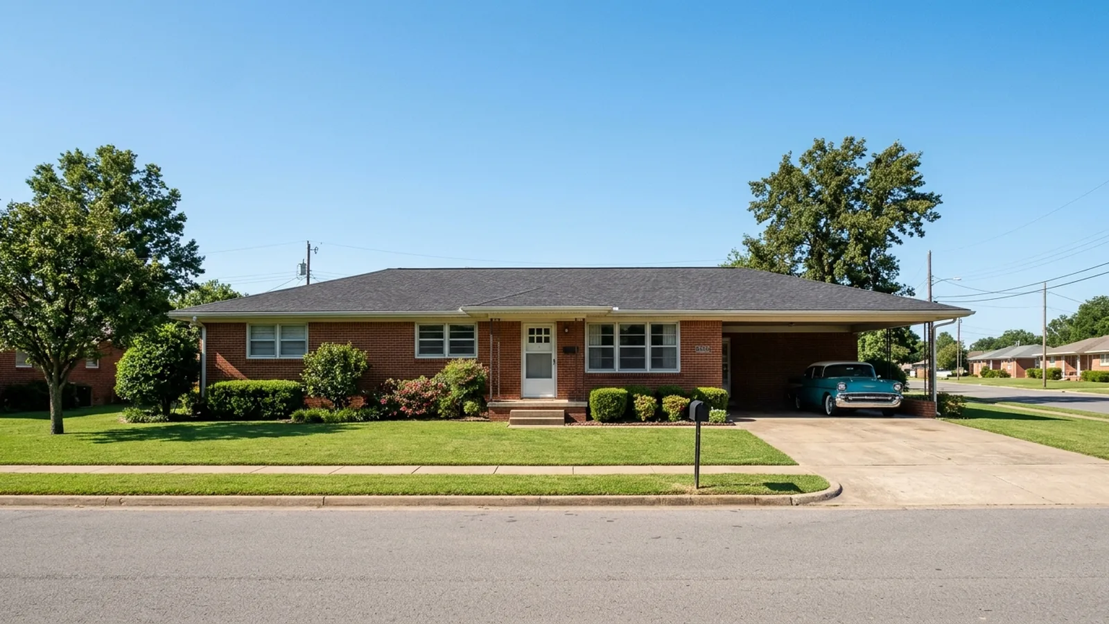
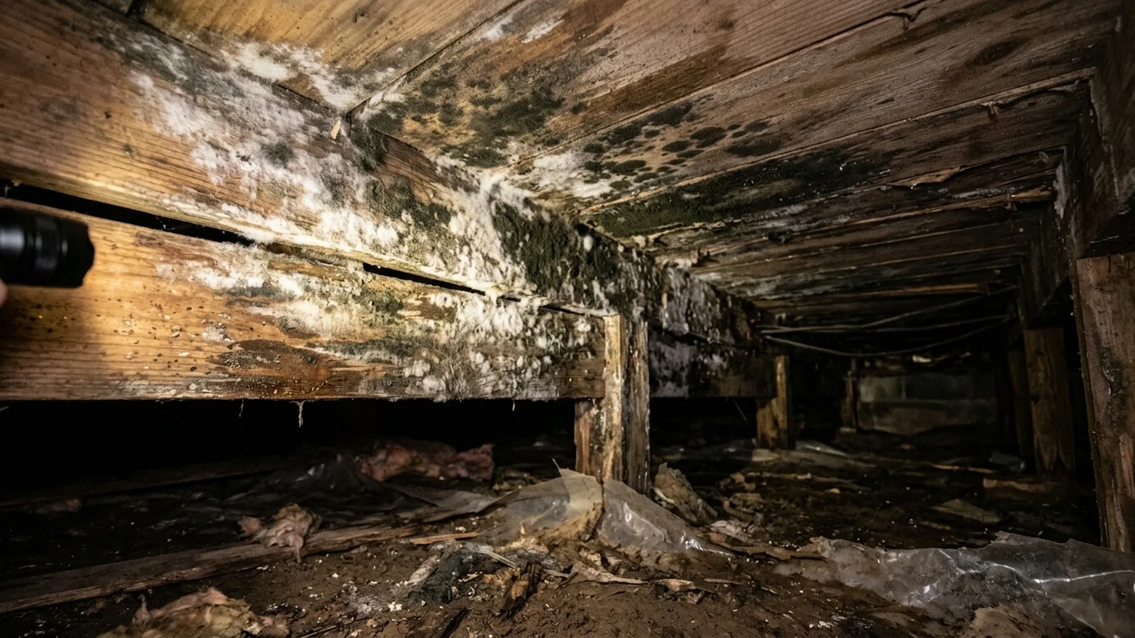
The Spring River and its homes.
Illustrative photos of the kinds of homes and conditions found in this area.
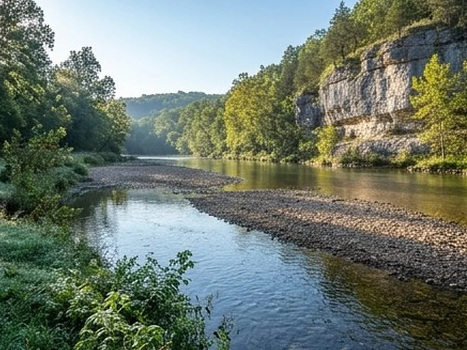
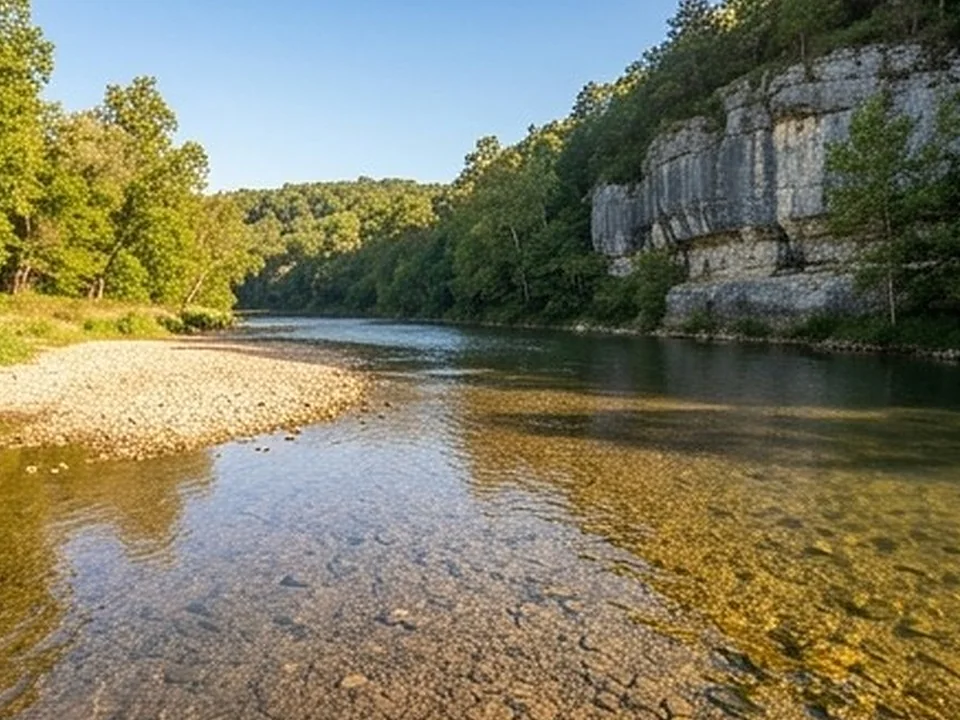
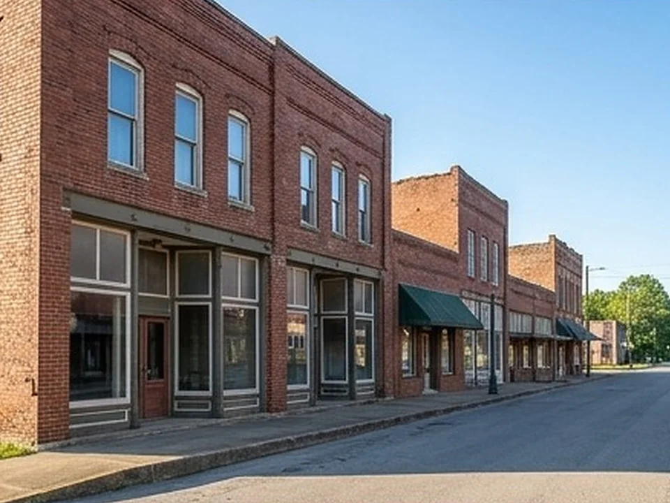
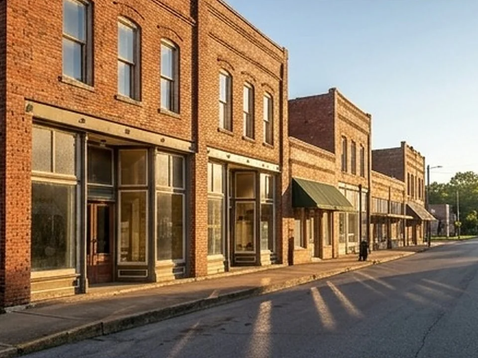
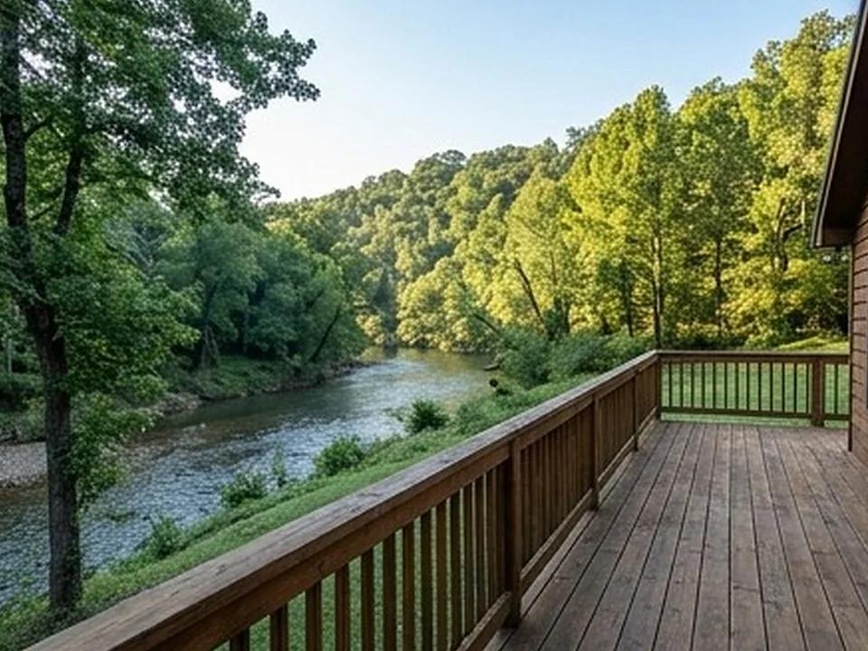
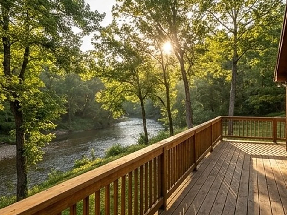
Hardy-area homes, up close.
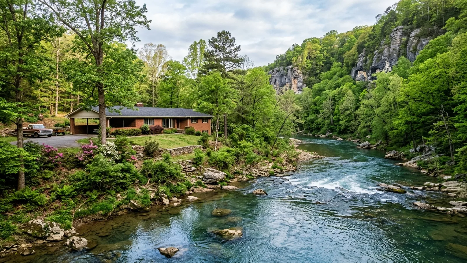
Spring River homes
Hardy's history, its Main Street and its flood record are all tied to the Spring River.
Explore →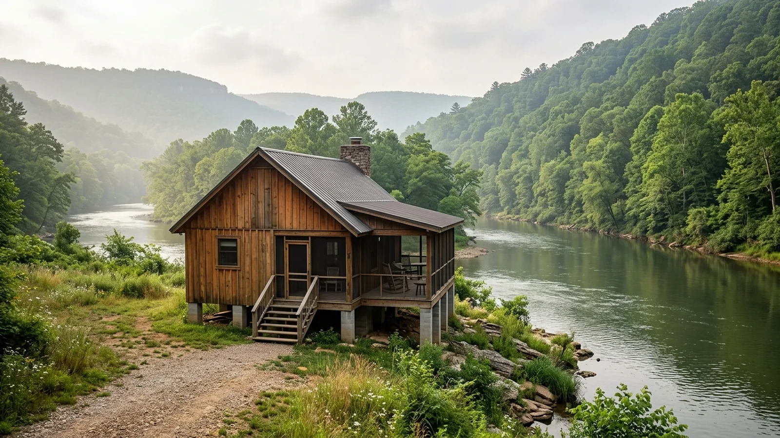
River and lake cabins
Hardy and Cherokee Village grew up as summer-resort country, and the housing shows it.
Explore →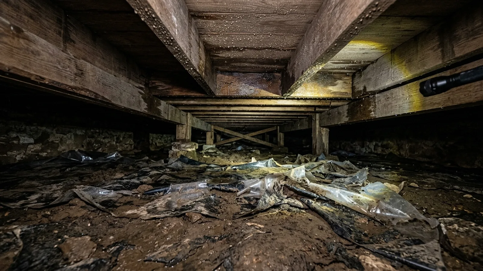
Crawlspace moisture
Karst bedrock, springs and a humid climate put moisture under many Hardy-area houses.
Explore →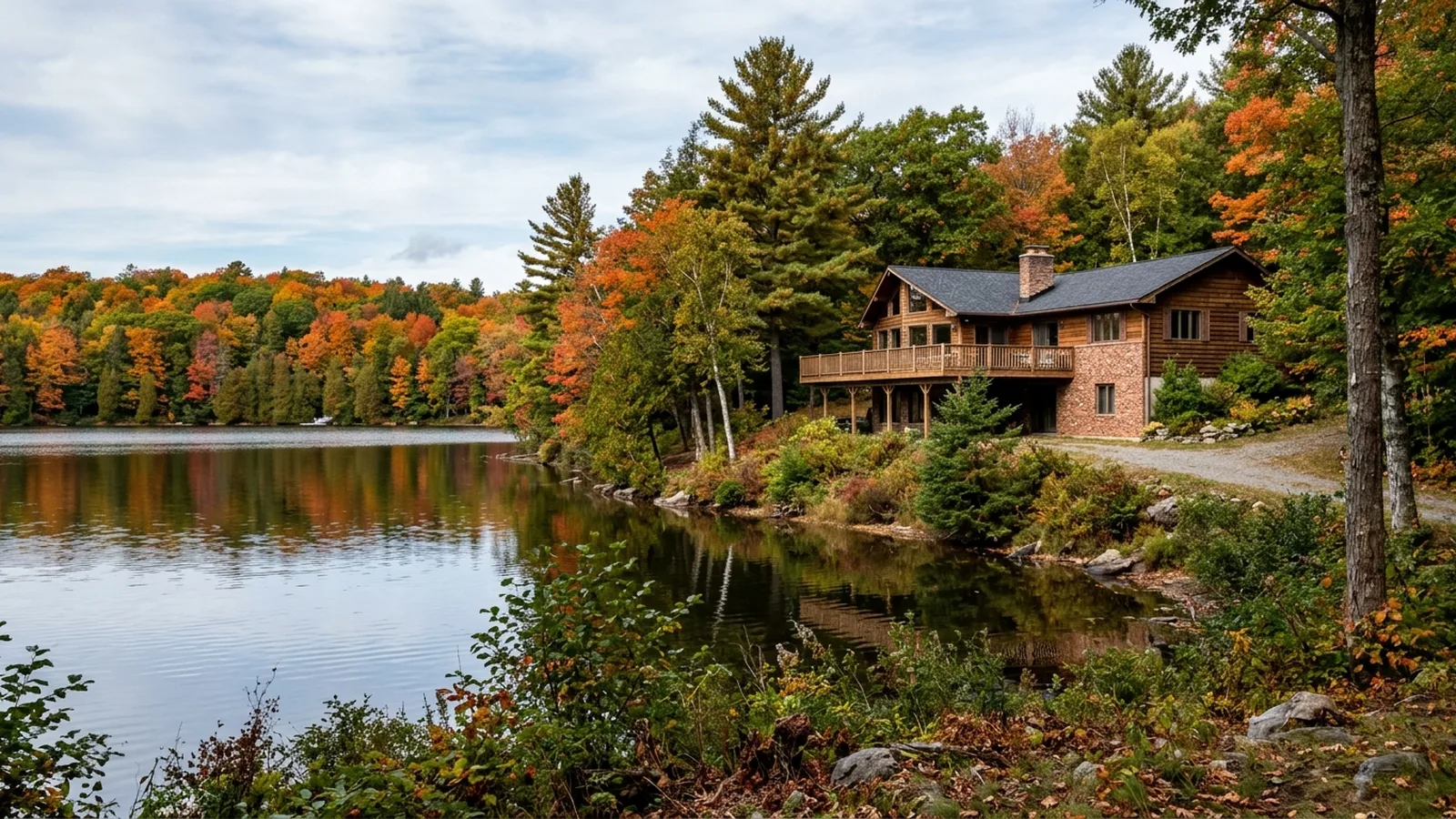
Retiring to the Hardy area
Cherokee Village was planned as a resort and retirement community, and buyers still…
Explore →Every town in the Hardy area.
- Hardy, AR · mold
- Highland, AR
- Cherokee Village, AR · mold
- Williford, AR · mold
- Ash Flat, AR · mold
- Mammoth Spring, AR · mold
- Ravenden, AR · mold
- Ravenden Springs, AR · mold
- Thayer, MO · mold
- Horseshoe Bend, AR · mold
- Imboden, AR · mold
- Evening Shade, AR · mold
- Franklin, AR
- Salem, AR · mold
- Smithville, AR · mold
- Koshkonong, MO
- Sidney, AR · mold
- Lynn, AR · mold
- Oxford, AR
- Black Rock, AR · mold
- Powhatan, AR · mold
- Brandsville, MO
- Cave City, AR · mold
- Strawberry, AR · mold
- Alton, MO · mold
- Portia, AR · mold
- Melbourne, AR · mold
- Mount Pleasant, AR · mold
- Viola, AR
- Pocahontas, AR · mold
- Maynard, AR
- Walnut Ridge, AR
- Hoxie, AR
- Minturn, AR
- Cushman, AR
- West Plains, MO · mold
- Pineville, AR · mold
- Alicia, AR
- Guion, AR · mold
- Biggers, AR · mold
- O'Kean, AR · mold
- Calico Rock, AR · mold
- Moorefield, AR
- Batesville, AR · mold
- Sulphur Rock, AR
- Swifton, AR
- Bakersfield, MO · mold
- Reyno, AR · mold
- Sedgwick, AR · mold
- Datto, AR
- Doniphan, MO · mold
- Southside, AR
- Newark, AR · mold
- Delaplaine, AR · mold
- Magness, AR
- Success, AR
- Egypt, AR · mold
- Tuckerman, AR · mold
- Salesville, AR
- Briarcliff, AR · mold
- Norfork, AR · mold
- Peach Orchard, AR · mold
- Birch Tree, MO
- Campbell Station, AR
- Cash, AR · mold
- Mountain View, AR · mold
- Bono, AR · mold
- Oil Trough, AR · mold
- Jacksonport, AR · mold
- Diaz, AR
- Winona, MO
- Mountain View, MO
- Fifty-Six, AR · mold
- Knobel, AR · mold
- Concord, AR
- Newport, AR · mold
- Mountain Home, AR · mold
- Corning, AR · mold
- Grandin, MO · mold
- Grubbs, AR · mold
- Naylor, MO · mold
- Willow Springs, MO · mold
- Pleasant Plains, AR
- Van Buren, MO · mold
- Lafe, AR · mold
- Gainesville, MO · mold
- Gassville, AR · mold
- Oak Grove Heights, AR
- Big Flat, AR
- Neelyville, MO
- Amagon, AR · mold
- Jonesboro, AR
- Paragould, AR · mold
- Eminence, MO
- Cotter, AR · mold
- Weiner, AR · mold
- Brookland, AR
- Ellsinore, MO
- Lakeview, AR
- Summersville, MO
- Waldenburg, AR
Common questions.
Is Hardy, Arkansas, on a river that floods?
How old is Hardy, Arkansas, and what is on Main Street?
Why did Main Street businesses in Hardy move after the 1982 flood?
What is the resort history around Hardy?
Is Hardy in a radon zone?
Sources for the facts on this page
- encyclopediaofarkansas.net: hardy sharp county
- en.wikipedia.org: Hardy, Arkansas
- en.wikipedia.org: Spring River (Arkansas)
- ktlo.com
- kait8.com: spring river flooding reaches near historic level
- encyclopediaofarkansas.net: karst topography
- encyclopediaofarkansas.net: sharp county
- epa.gov: arkansas
- epa.gov: epa map radon zones
Build your quote in 30 seconds.
No phone tag, no callback delay. Price and book your inspection right here — it takes about 30 seconds and there is no obligation.