
Home inspection in Forrest City, Arkansas.
Closer Look Inspectors offers home inspections in Forrest City, St. Francis County, Arkansas. Forrest City homes are inspected by a local partner in our Arkansas network, and every report is photo-mapped and delivered within 24 hours.
Why Forrest City homes need a local read
Forrest City is the St. Francis County seat on the western slope of Crowley's Ridge, where high ground served as a Red Cross refugee camp in the 1927 and 1937 floods.
History: Grew from a commissary Nathan Bedford Forrest set up while building a railroad across the ridge; 36-block town site marked off March 1, 1869; Incorporated May 11, 1870; County seat since 1874.
Housing: Several structures on the National Register of Historic Places, including the Rush-Gates Home, the site of the St. Francis County Museum.
Around town: Rush-Gates Home and St. Francis County Museum, St. Francis County Courthouse, Hotel Marion, Avery Hotel, Hamilton Moses Power Plant (opened 1951, four miles west of the city), Village Creek State Park.
Water, flooding and moisture in Forrest City
Water nearby: St. Francis River and L'Anguille River (popular fishing streams); St. Francis River Bridge east of the city (1933).
Flood history: The Flood of 1927 inundated much of the area, and the Red Cross camp on Forrest City's high ground was the state's largest, serving 15,000 refugees; The city was again a refugee camp in the Flood of 1937.
EPA's Map of Radon Zones places St. Francis County in Zone 3 (predicted average indoor levels below 2 pCi/L). EPA notes that homes vary within any zone, so the map does not predict a single house.
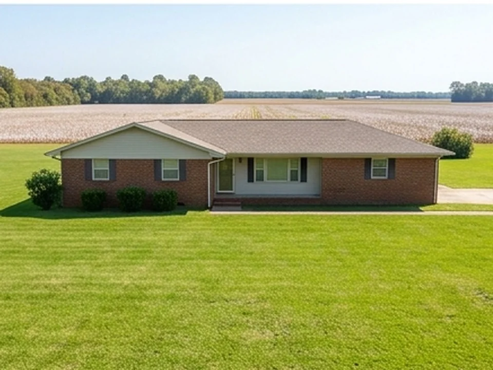
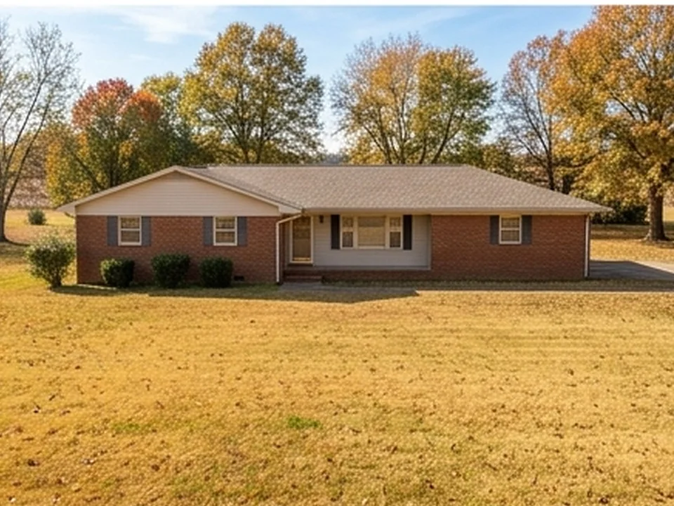
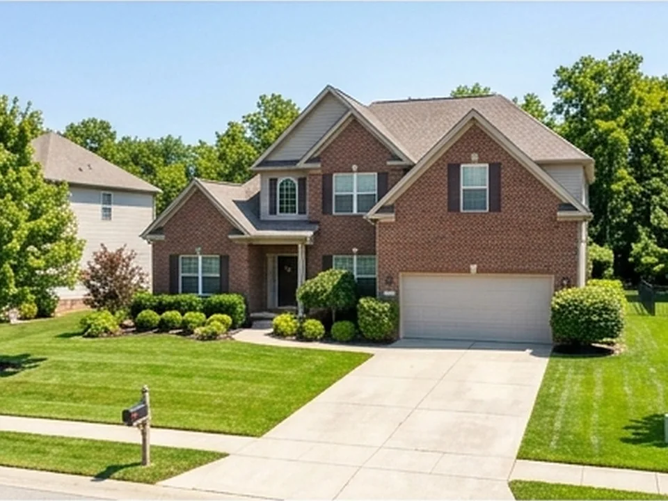
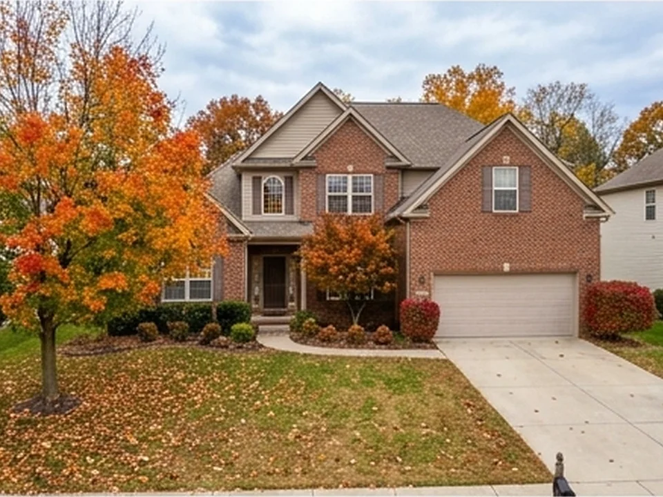
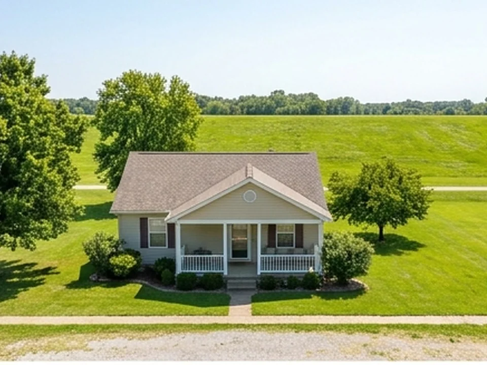
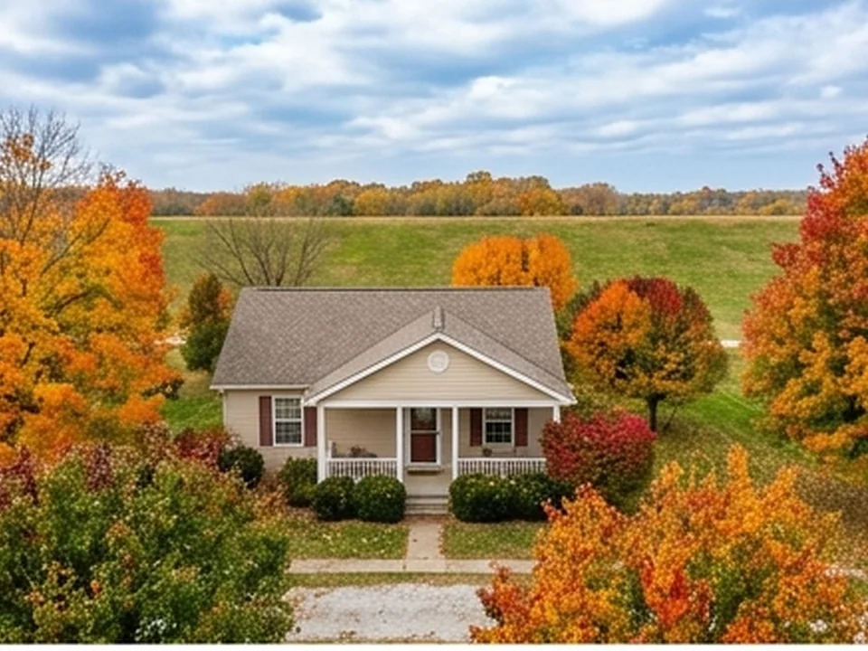
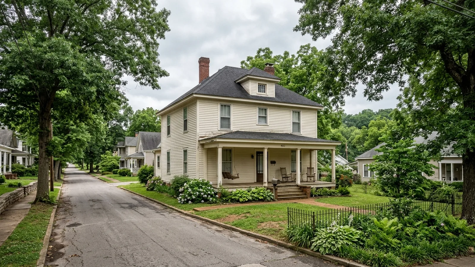
Delta and Crowley's Ridge homes.
Illustrative photos of the kinds of homes and conditions found in this area.
 Report in 24 hours
Built to negotiate with.
Every Forrest City inspection is documented in a clear, photo-mapped digital report delivered within 24 hours and written in plain English.
More for this area.
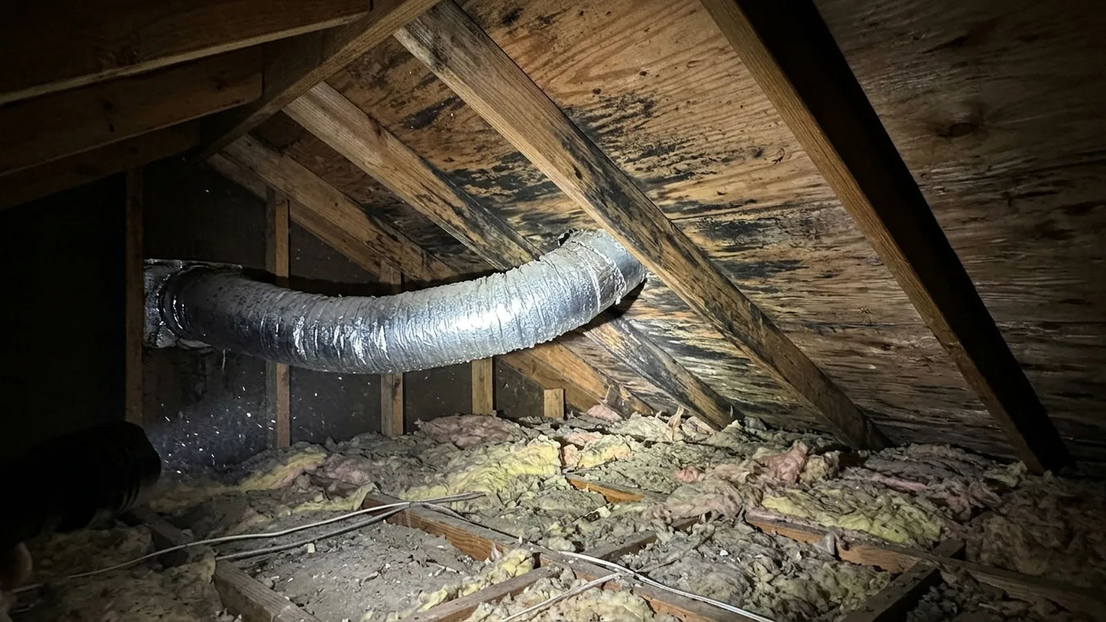
Mold Inspection Forrest City
Moisture, humidity and mold in Forrest City homes
Explore →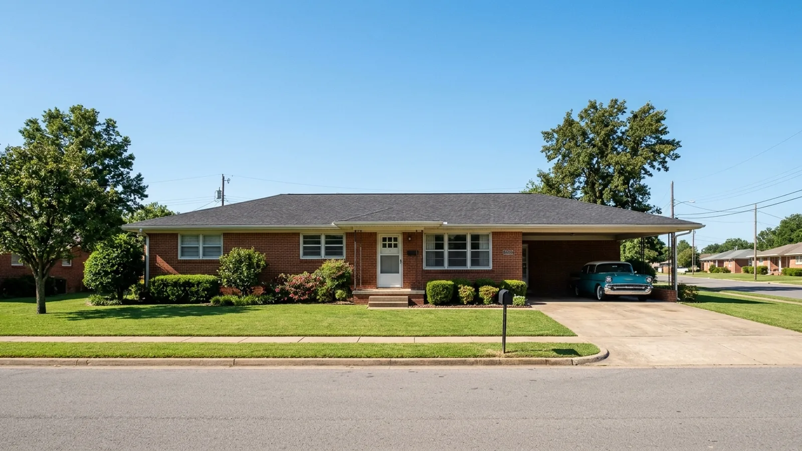
Hardy, AR area
Our Hardy-area hub: the Spring River, Cherokee Village and the towns around them
Explore →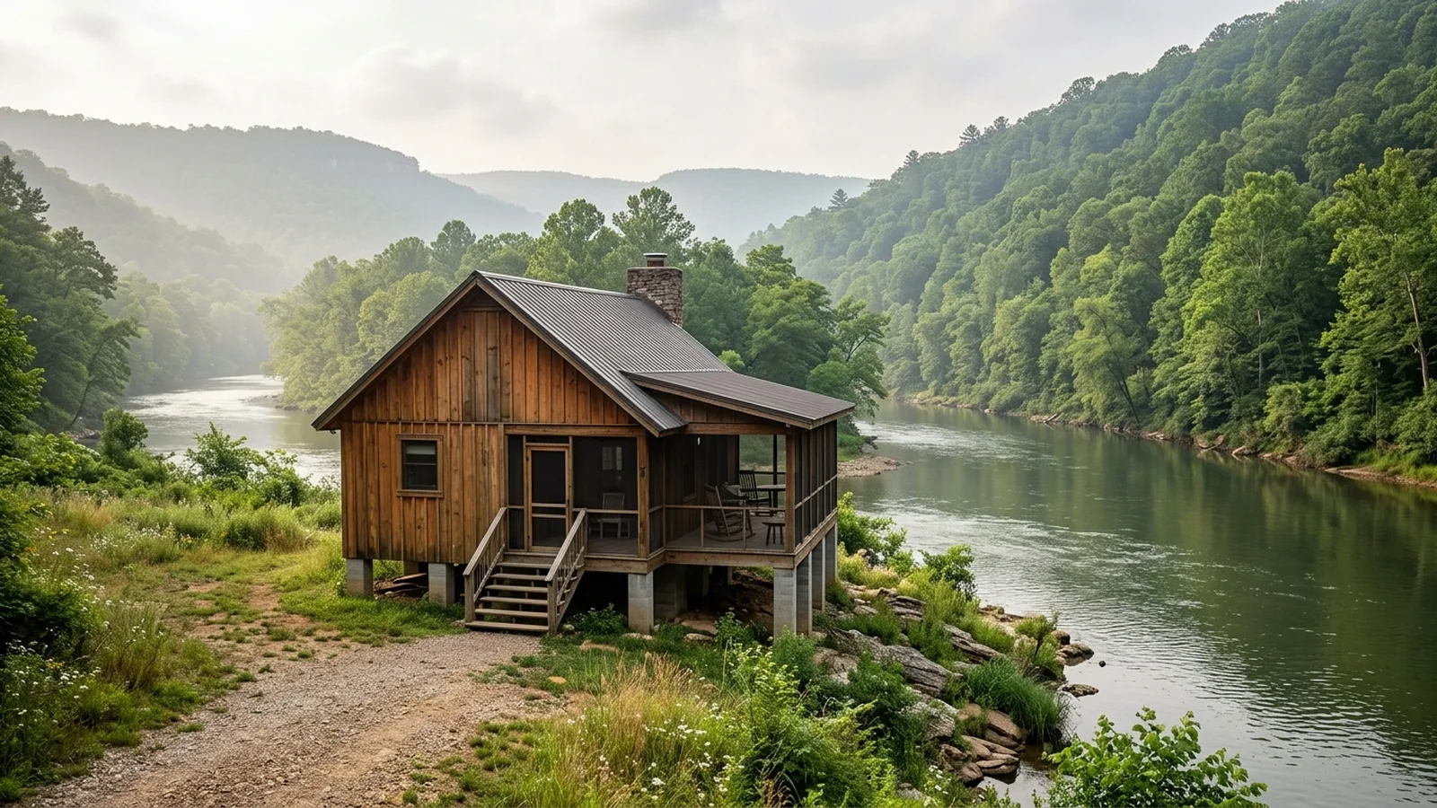
Arkansas home inspection
Every Arkansas town we serve
Explore →Nearby towns
Common questions.
Why is Forrest City on Crowley's Ridge?
Did the 1927 flood reach Forrest City?
Which Forrest City buildings are historic?
Which rivers are near Forrest City?
Do sinkholes and flood zones affect homes in north and northeast Arkansas?
Sources for the facts on this page
Build your quote in 30 seconds.
No phone tag, no callback delay. Price and book your inspection right here — it takes about 30 seconds and there is no obligation.