
Home inspection in Gosnell, Arkansas.
Closer Look Inspectors offers home inspections in Gosnell, Mississippi County, Arkansas. Gosnell homes are inspected by a local partner in our Arkansas network, and every report is photo-mapped and delivered within 24 hours.
Why Gosnell homes need a local read
Gosnell grew as a result of its proximity to the Blytheville Army Air Field, later Eaker Air Force Base, with Big Lake to the west and Pemiscot Bayou to the east.
History: Named for dentist and pioneer farmer Lemael Gosnell; Formerly known as Chickasawba; Became a first-class city March 12, 1968.
Around town: Big Lake on the west, Pemiscot Bayou on the east, the Eaker archaeological site, a Mississippian-period mound, and the former Eaker Air Force Base site now the Arkansas Aeroplex.
Setting: A 15-foot Mississippian-period mound stands about two miles southeast of town; The area was surrounded by water in its early days.
Water, flooding and moisture in Gosnell
Water nearby: Big Lake borders the community on the west and Pemiscot Bayou lies to the east.
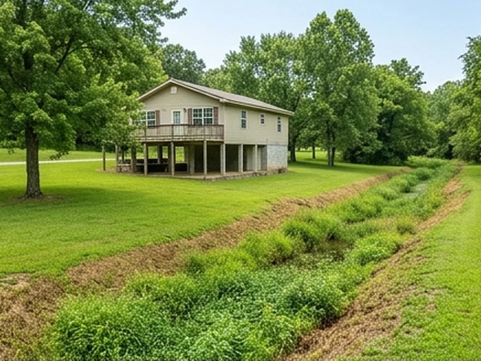
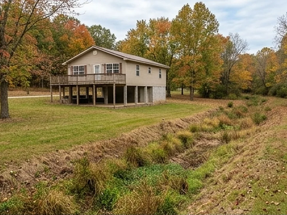
Flood history: The 1927 and 1937 floods led to a drainage system in which Pemiscot Bayou was rerouted to drainage ditches, with locks and pumps moving water into Big Lake.
EPA's Map of Radon Zones places Mississippi County in Zone 3 (predicted average indoor levels below 2 pCi/L). EPA notes that homes vary within any zone, so the map does not predict a single house.
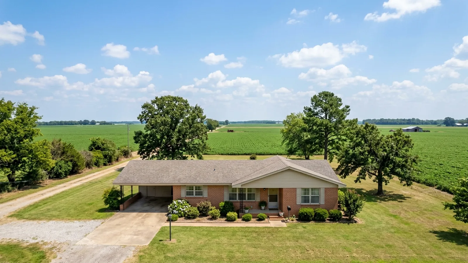
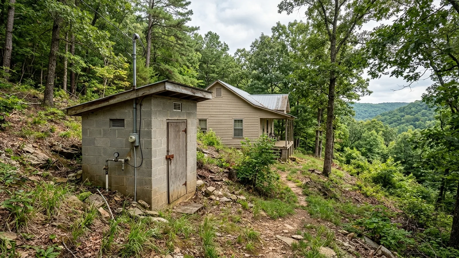
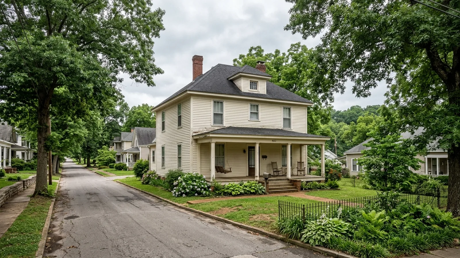
Delta and Crowley's Ridge homes.
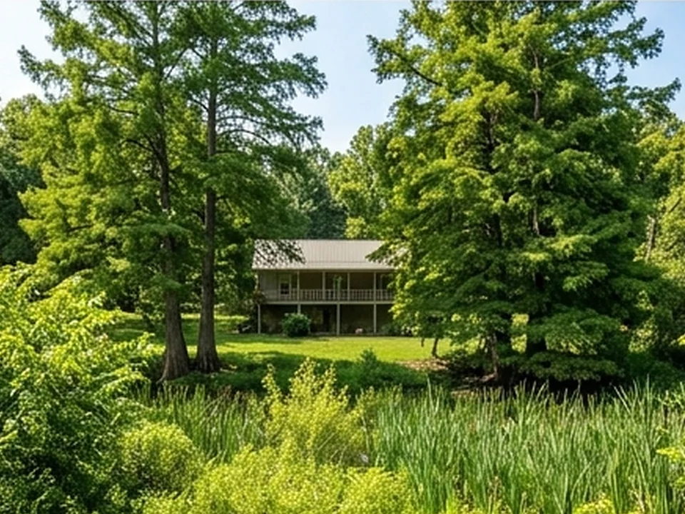
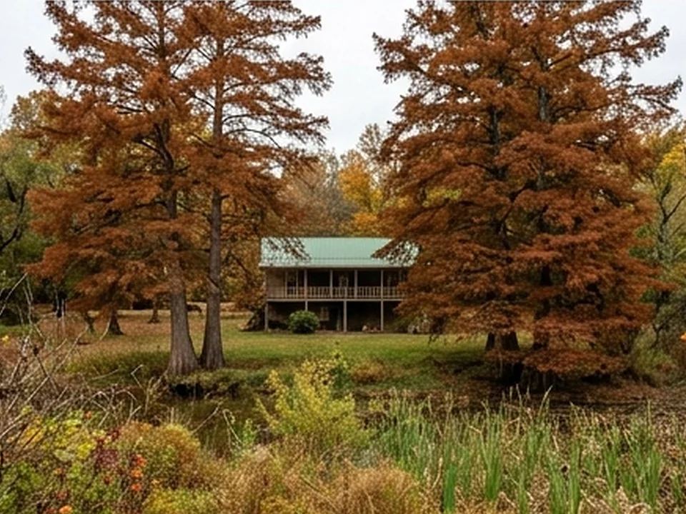
Illustrative photos of the kinds of homes and conditions found in this area.


 Report in 24 hours
Built to negotiate with.
Every Gosnell inspection is documented in a clear, photo-mapped digital report delivered within 24 hours and written in plain English.

Common questions.
How did Gosnell get its name?
How is water managed around Gosnell?
What shaped Gosnell's growth?
Is radon a concern in north Arkansas?
Sources for the facts on this page
Build your quote in 30 seconds.
No phone tag, no callback delay. Price and book your inspection right here — it takes about 30 seconds and there is no obligation.