
Home inspection in McDougal, Arkansas.
Closer Look Inspectors offers home inspections in McDougal, Clay County, Arkansas. McDougal homes are inspected by a local partner in our Arkansas network, and every report is photo-mapped and delivered within 24 hours.
Why McDougal homes need a local read
McDougal grew up as a railroad depot on a Butler County Railroad branch line built in 1914 to connect Piggott, Arkansas, with Poplar Grove, Missouri.
History: Established as a railroad depot early in the twentieth century; Incorporated as a city in 1954.
Around town: The railroad depot, M. V. Murrow's early store, and U.S. Highway 62, which passes just south of town.
Setting: McDougal is in the Mississippi Alluvial Plain (the Delta), west of Crowley's Ridge, at about 295 feet. The land was swamp and hardwood forest in 1803.
Water, flooding and moisture in McDougal
Water nearby: Drainage ditches dug through the McDougal area feed into the Cache River in southwestern Clay County.
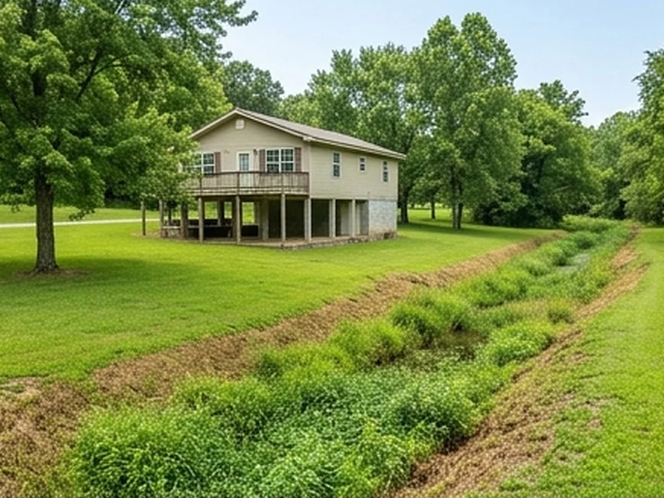
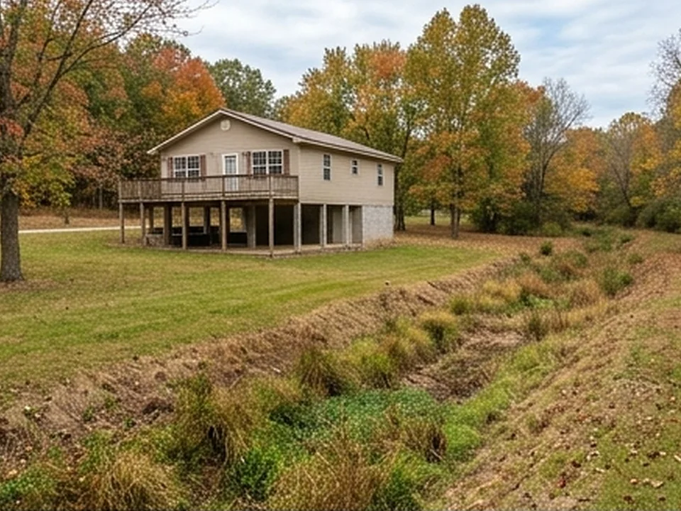
Swamps and hardwood forest once covered the land, and drainage ditches were dug to improve farming around McDougal.
EPA's Map of Radon Zones places Clay County in Zone 3 (predicted average indoor levels below 2 pCi/L). EPA notes that homes vary within any zone, so the map does not predict a single house.
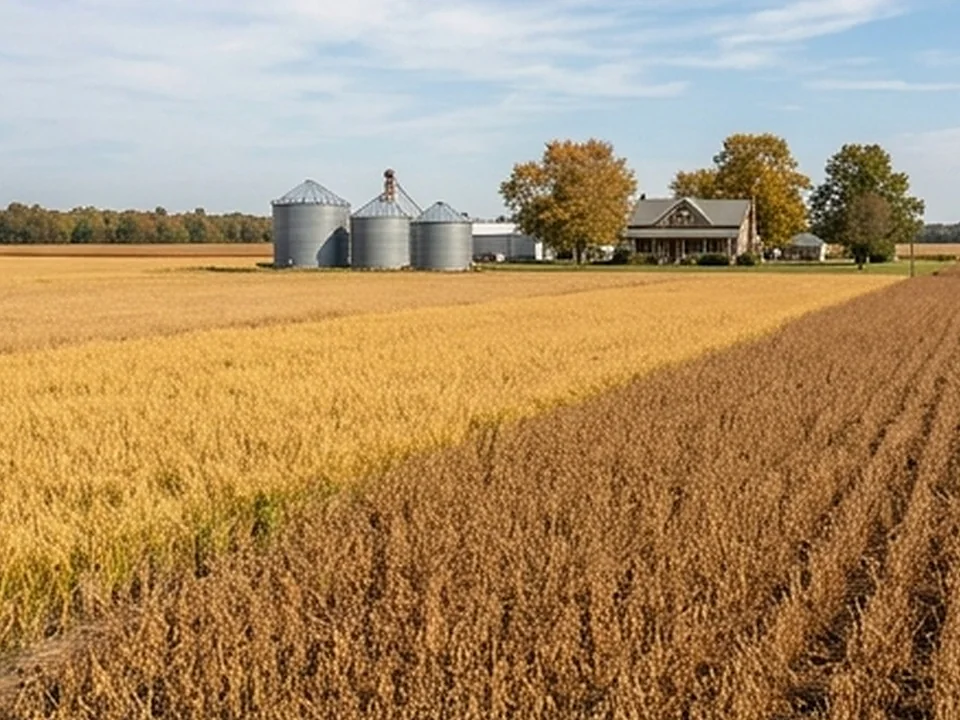
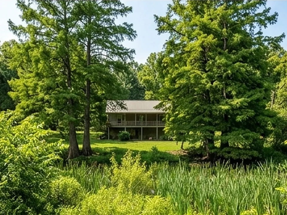
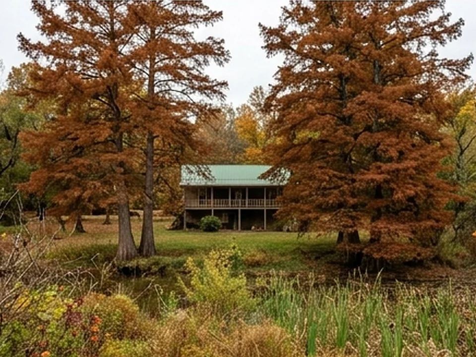
Delta and Crowley's Ridge homes.
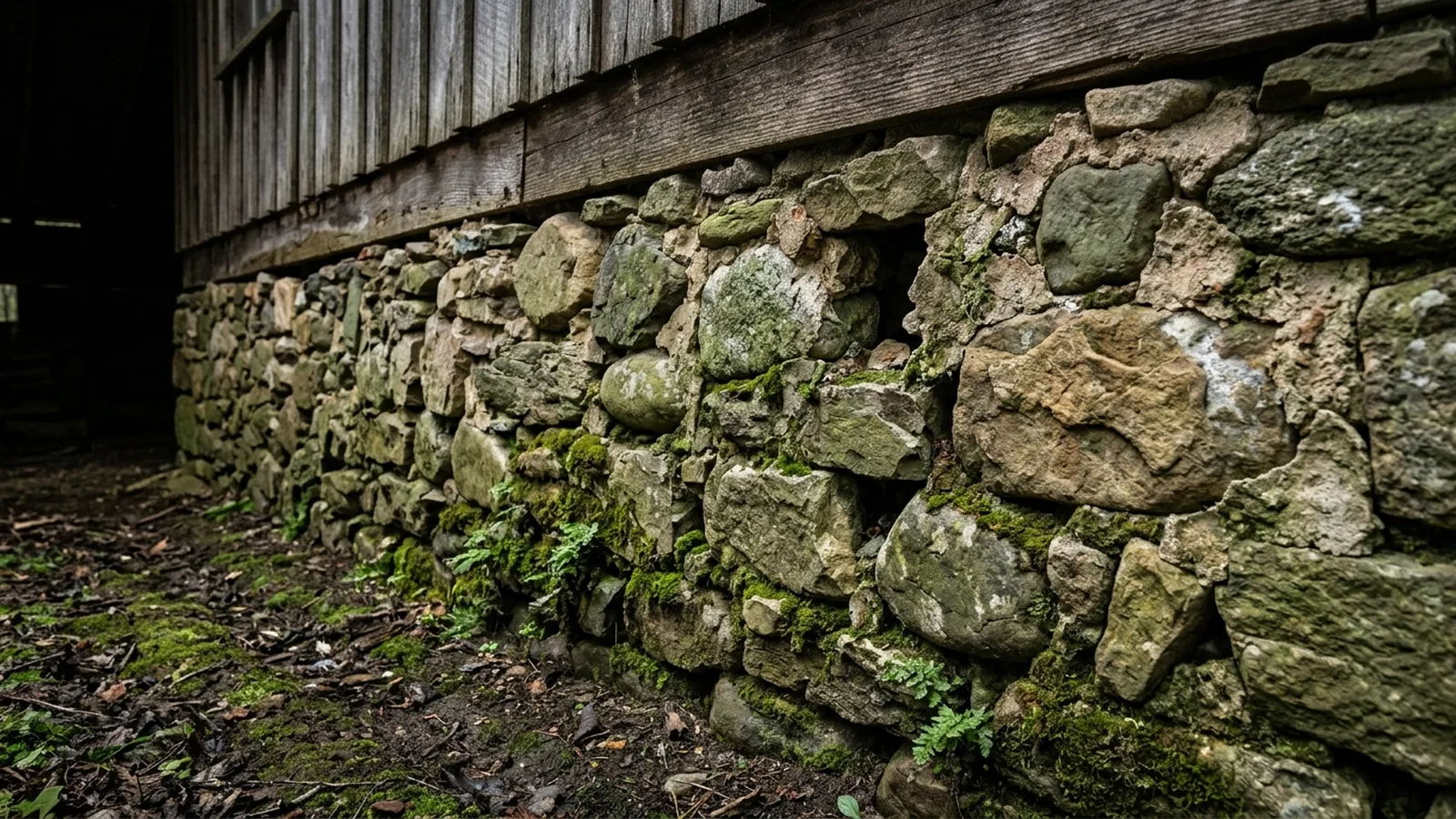
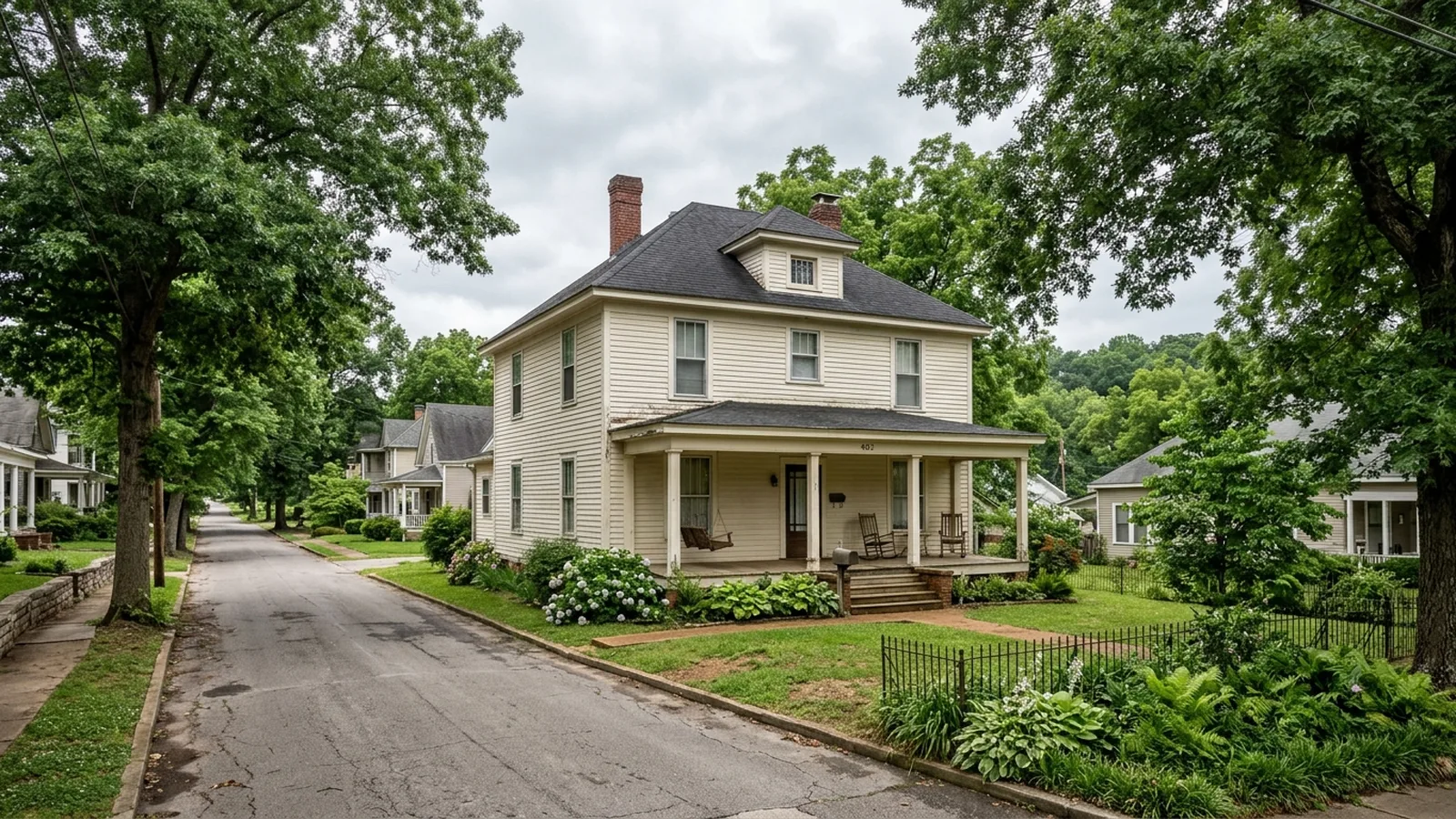
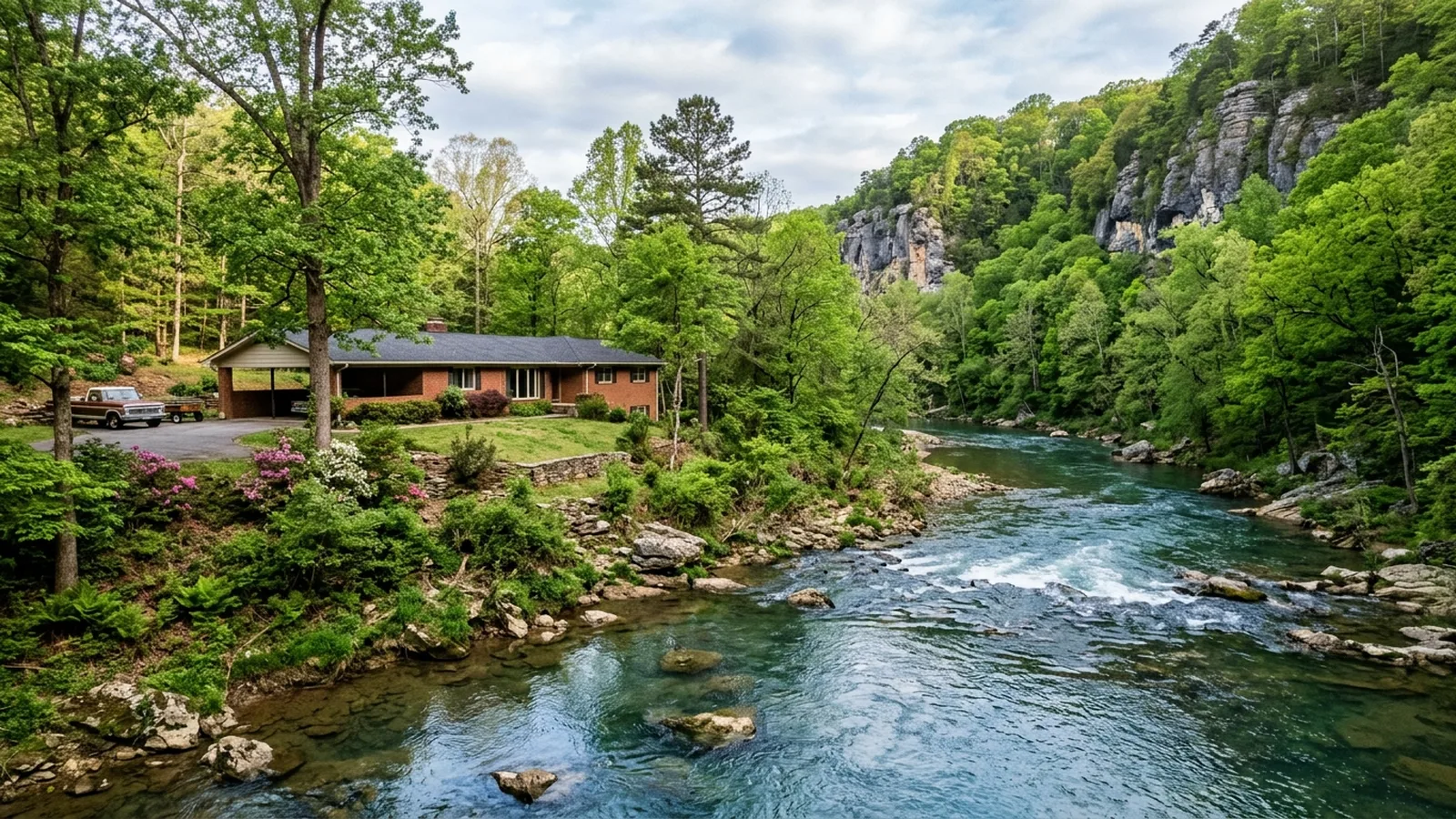
Illustrative photos of the kinds of homes and conditions found in this area.

 Report in 24 hours
Built to negotiate with.
Every McDougal inspection is documented in a clear, photo-mapped digital report delivered within 24 hours and written in plain English.
Common questions.
How did McDougal get started?
What did the New Madrid earthquakes do here?
Why did McDougal incorporate in 1954?
What happened to the railroad branch?
Why is mold such a concern in Arkansas homes?
Sources for the facts on this page
Build your quote in 30 seconds.
No phone tag, no callback delay. Price and book your inspection right here — it takes about 30 seconds and there is no obligation.