
Home inspection in Oil Trough, Arkansas.
Closer Look Inspectors offers home inspections in Oil Trough, Independence County, Arkansas. Oil Trough homes are inspected by a local partner in our Arkansas network, and every report is photo-mapped and delivered within 24 hours.
Why Oil Trough homes need a local read
Oil Trough sits in the White River bottoms below Oil Trough Ridge and is said to be named for troughs hunters used to store bear oil.
History: Post office opened May 2, 1832 as Pleasant Island and was renamed Oil Trough on June 22, 1849; Incorporated July 22, 1959.
Setting: White River bottomland (the Oil Trough Bottoms) below Oil Trough Ridge, which is made of black limestone.
Water, flooding and moisture in Oil Trough
Water nearby: White River; A bridge to Newark replaced the Oil Trough ferry in 1975.
Flood history: The Encyclopedia of Arkansas says the bottoms flooded often, most notably in 1867, 1882 and 1915; In August 1915 a tropical storm stalled over the area, forcing evacuations and destroying that year's crops.
River-bottom location on the White River and a history of repeated flooding.
EPA's Map of Radon Zones places Independence County in Zone 2 (predicted average indoor levels of 2 to 4 pCi/L). EPA notes that homes vary within any zone, so the map does not predict a single house.
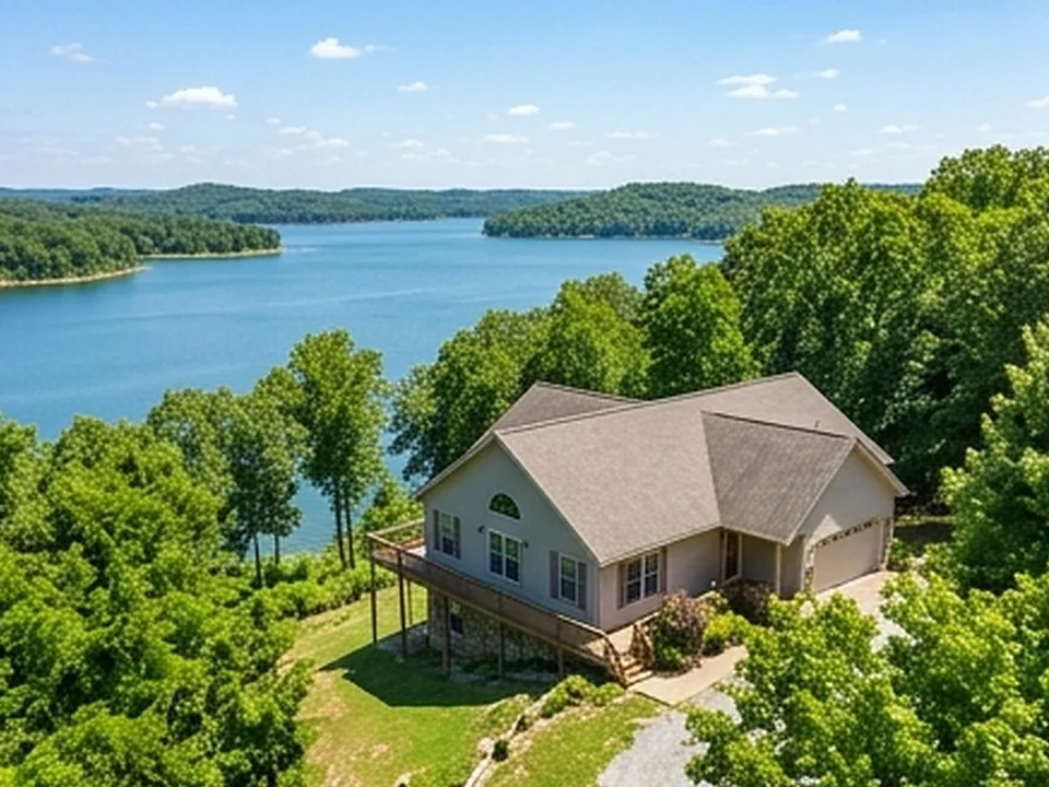
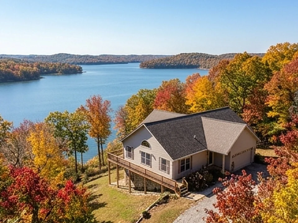
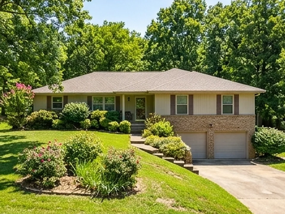
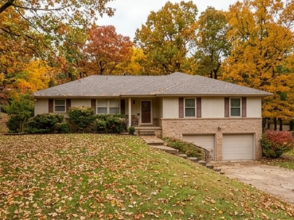
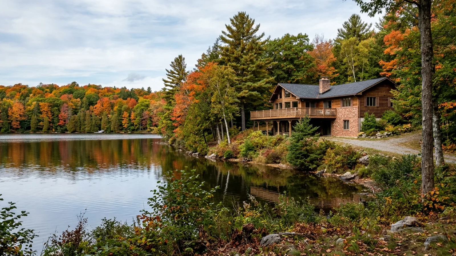
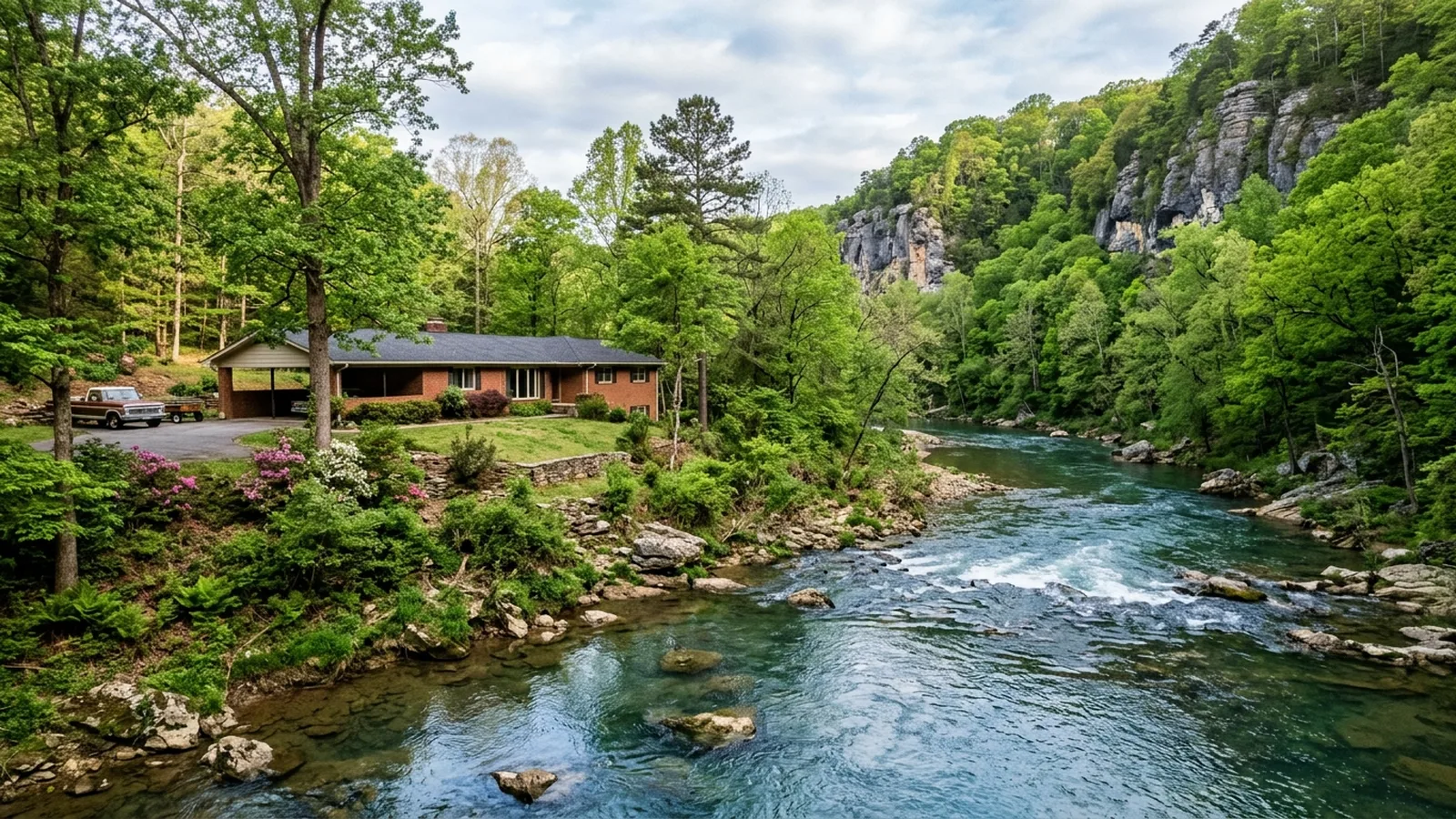
Ozark hill-country homes.
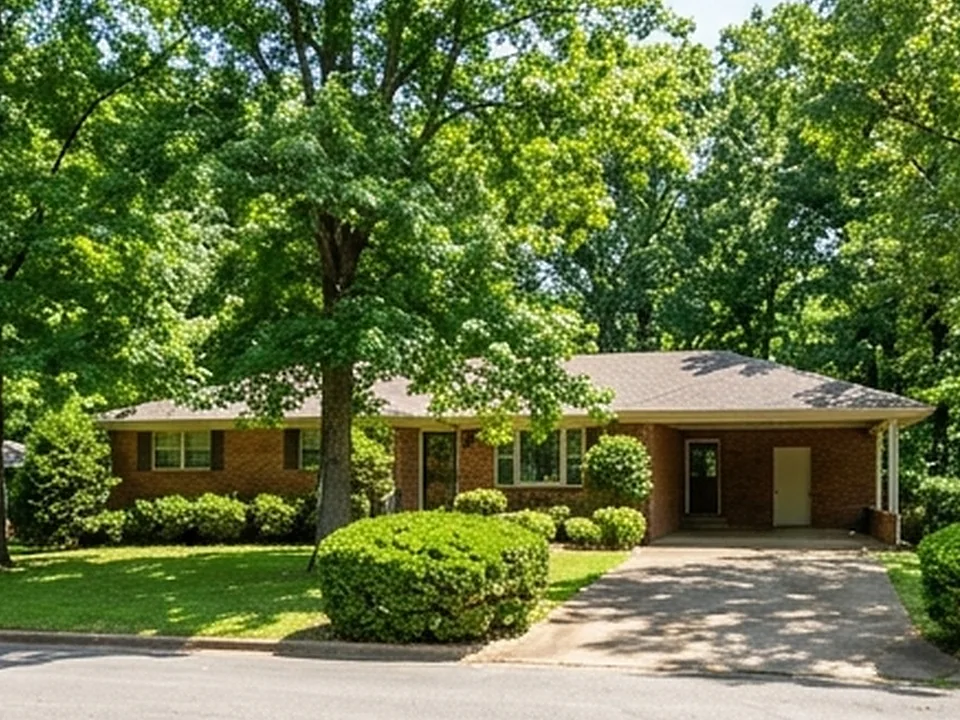
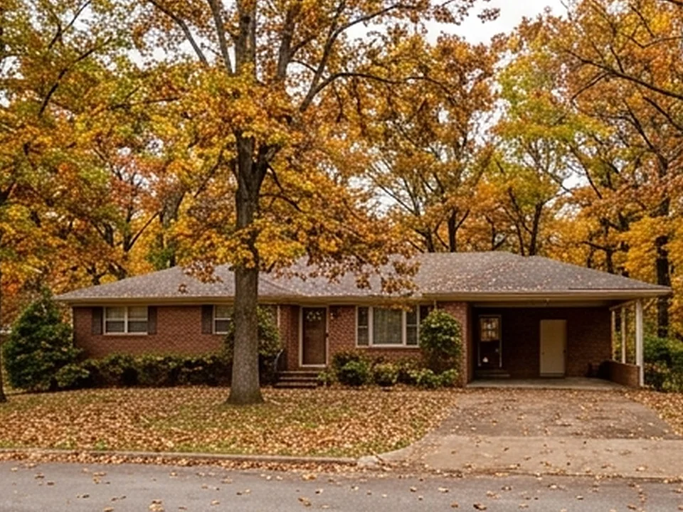
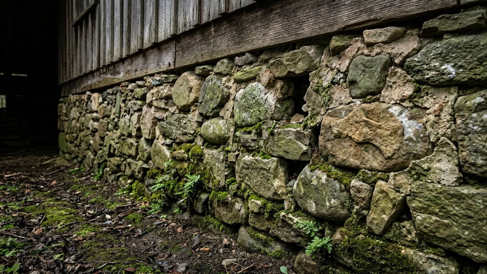
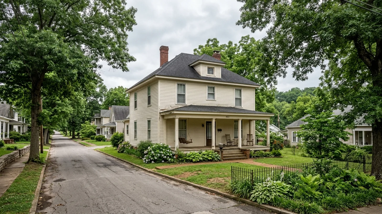
Illustrative photos of the kinds of homes and conditions found in this area.
 Report in 24 hours
Built to negotiate with.
Every Oil Trough inspection is documented in a clear, photo-mapped digital report delivered within 24 hours and written in plain English.
Common questions.
Has Oil Trough flooded before?
Where does the name Oil Trough come from?
What kind of land is Oil Trough built on?
Why is mold such a concern in Arkansas homes?
Sources for the facts on this page
Build your quote in 30 seconds.
No phone tag, no callback delay. Price and book your inspection right here — it takes about 30 seconds and there is no obligation.